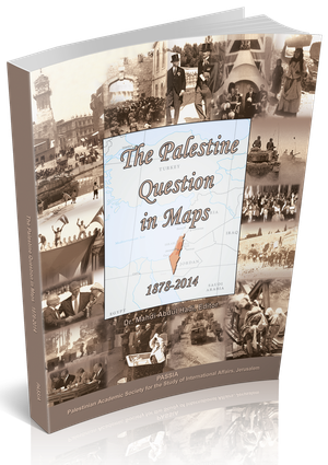
The Palestine Question in Maps, 1878-2014
Including over 50 color maps, this publication provides a guide to the
Palestine Question from the Ottoman period through to 2002, shedding
light on the real territorial dimensions of the conflict, its causes, and the numerous schemes posited over time for its resolution. A first series of maps
follows the path of modern Palestinian history in chronological order, focusing
on key demographic themes and political milestones, as well as identifying the
various proposals posited for the resolution of the Palestine Question (Chapters
1-3). Jerusalem itself is of such intrinsic importance to Palestinian history and
to the resolution of the Palestine-Israel conflict, that a separate section is
devoted, in detail, to its changing circumstances (Chapter 4). Core issues, such
as water and refugees, are also addressed in a separate chapter (Chapter 5).
The text accompanying the maps presents a concise and clear overview of the
historical, political and socio-economic circumstances providing the back drop
for the individual maps and illustrating their place within the broader frame
of Palestinian history. Complete with statistics, detailed references and notes,
the text serves to illuminate the factors defining the territorial dimensions
portrayed within the maps.

